Description
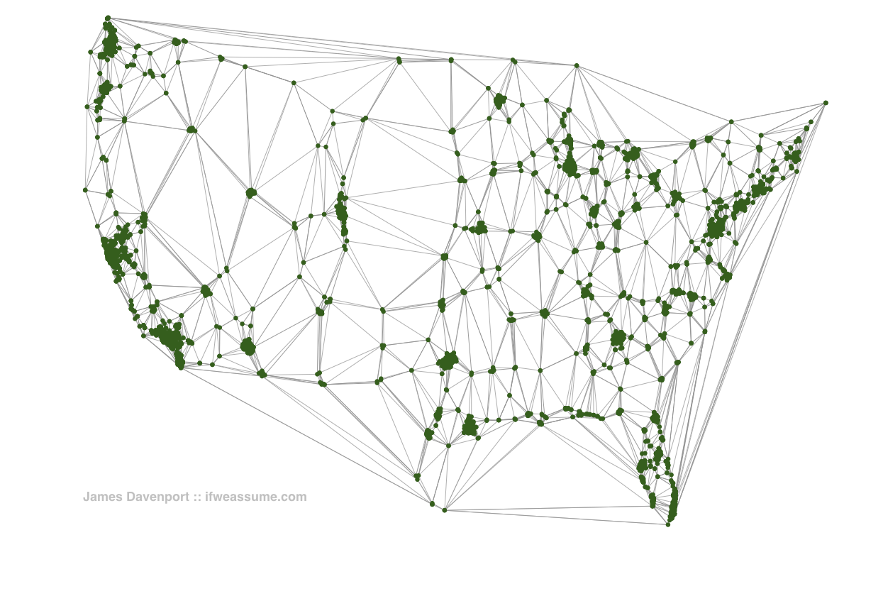
Voronoi tessellations applied to geographic data, partitioning space into regions where each point in a region is closer to its seed point than to any other. Named after Ukrainian mathematician Georgy Voronoi (1868-1908), the technique divides a plane into polygonal cells. Applications span urban planning (service areas for hospitals, fire stations), ecology (animal territory modeling), telecommunications (cell tower coverage), meteorology, and computational geometry. John Snow's 1854 cholera map implicitly used Voronoi logic to show that deaths clustered around the Broad Street pump. The diagrams are also widely used in generative art and procedural design.