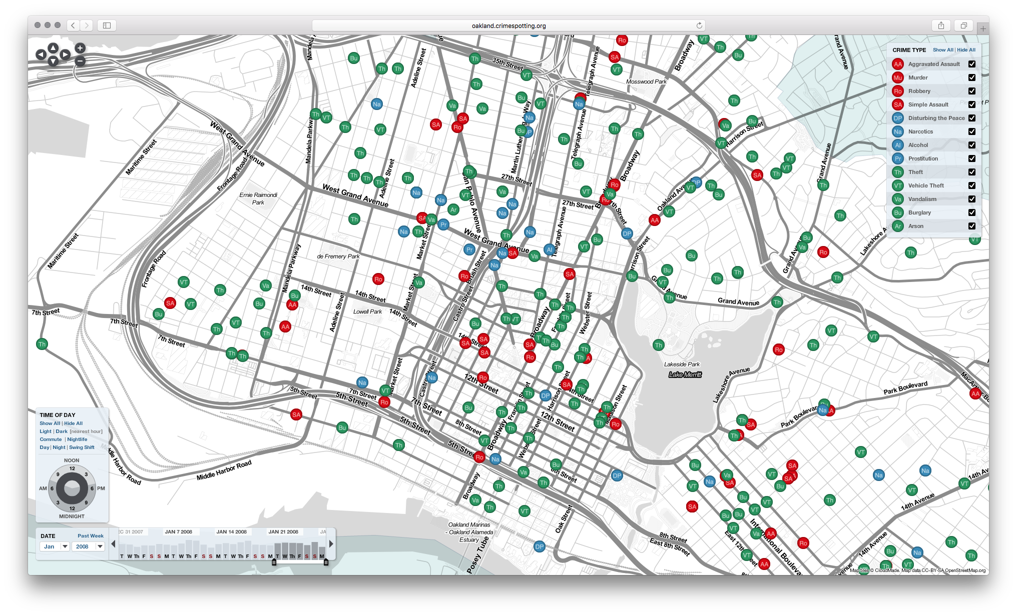
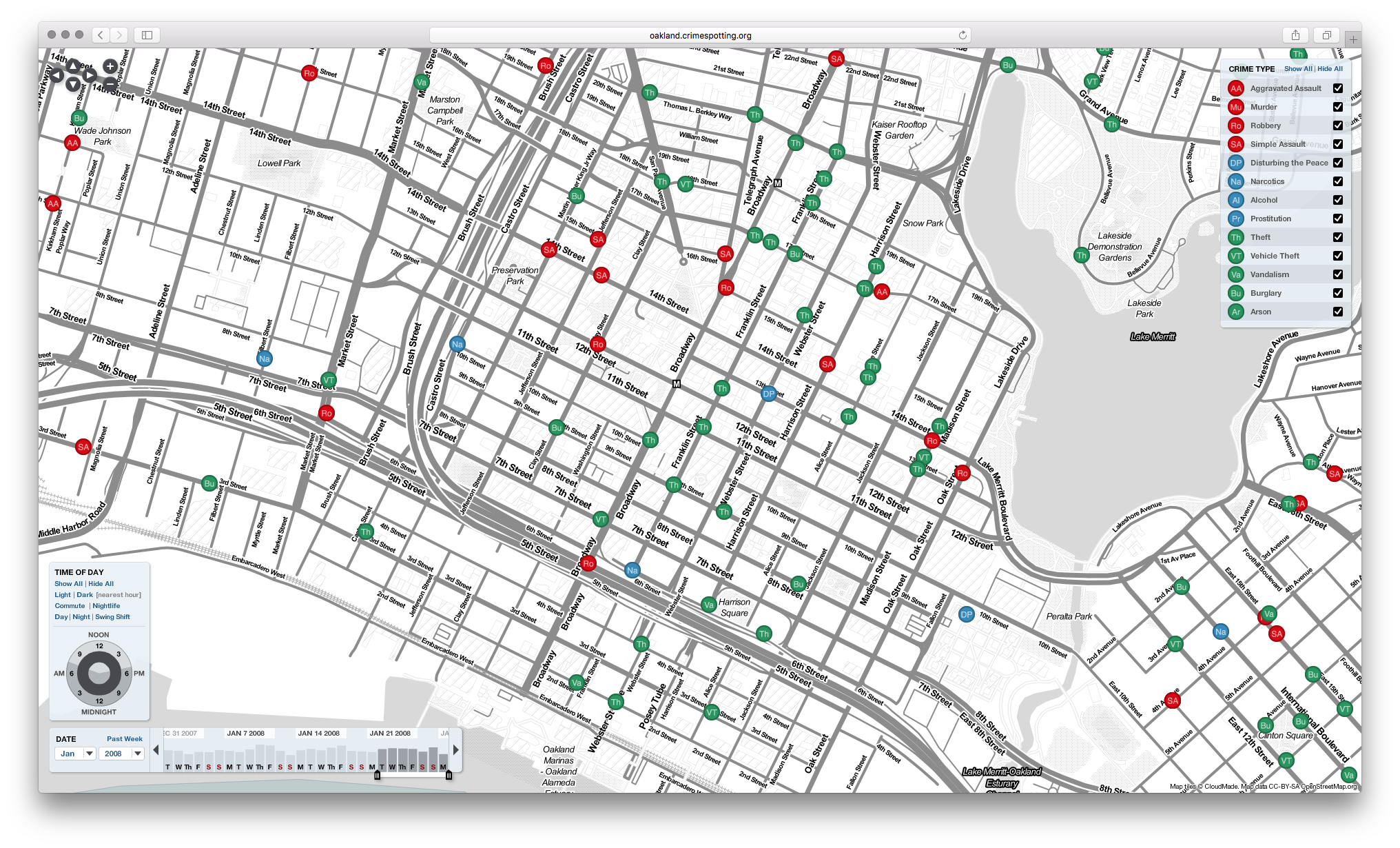
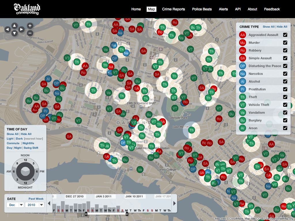
Description
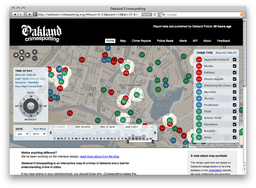
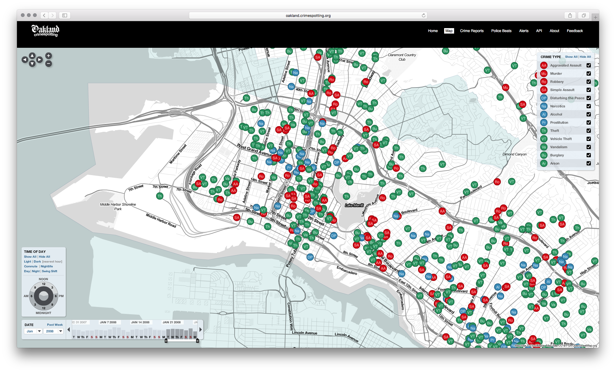
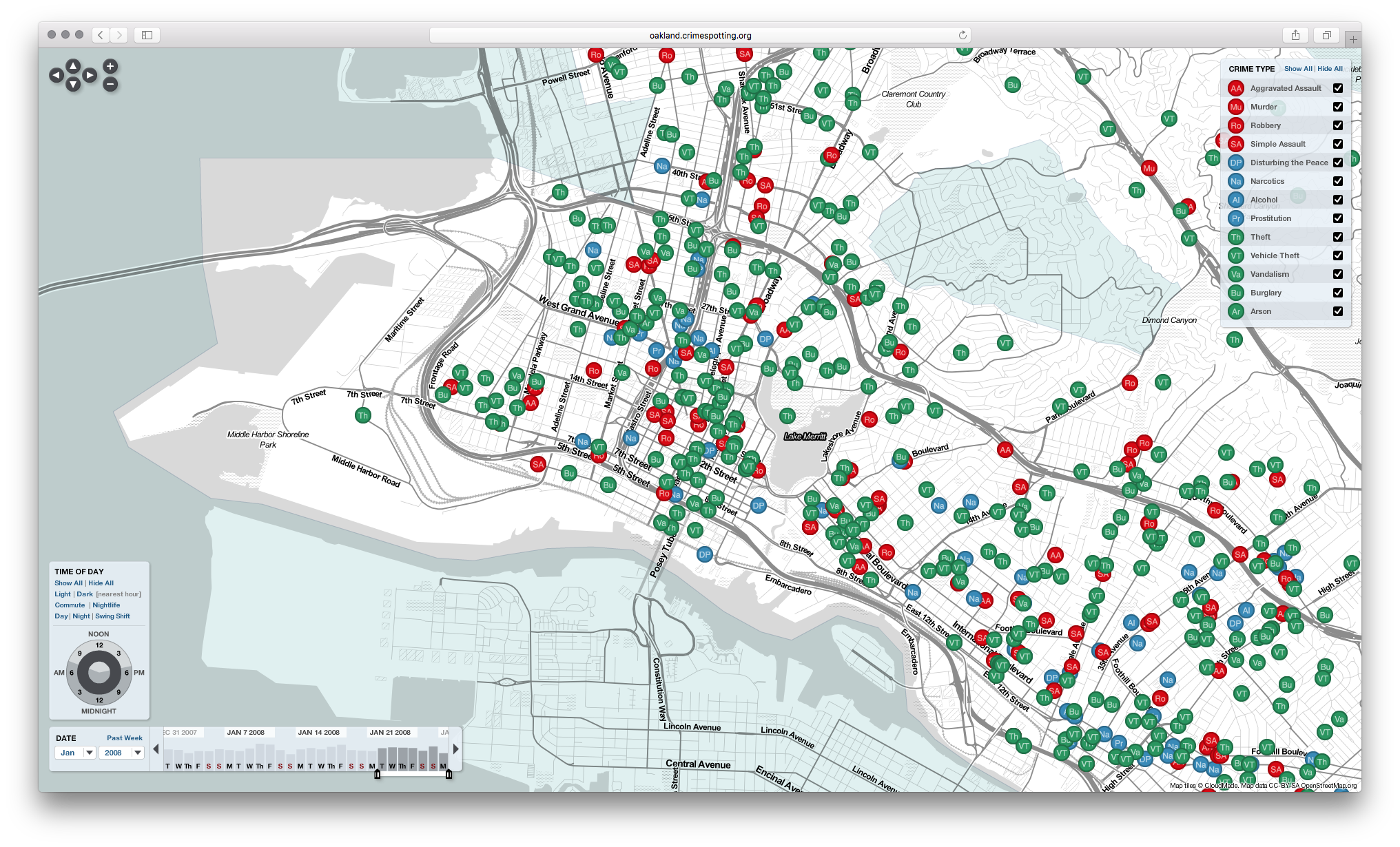
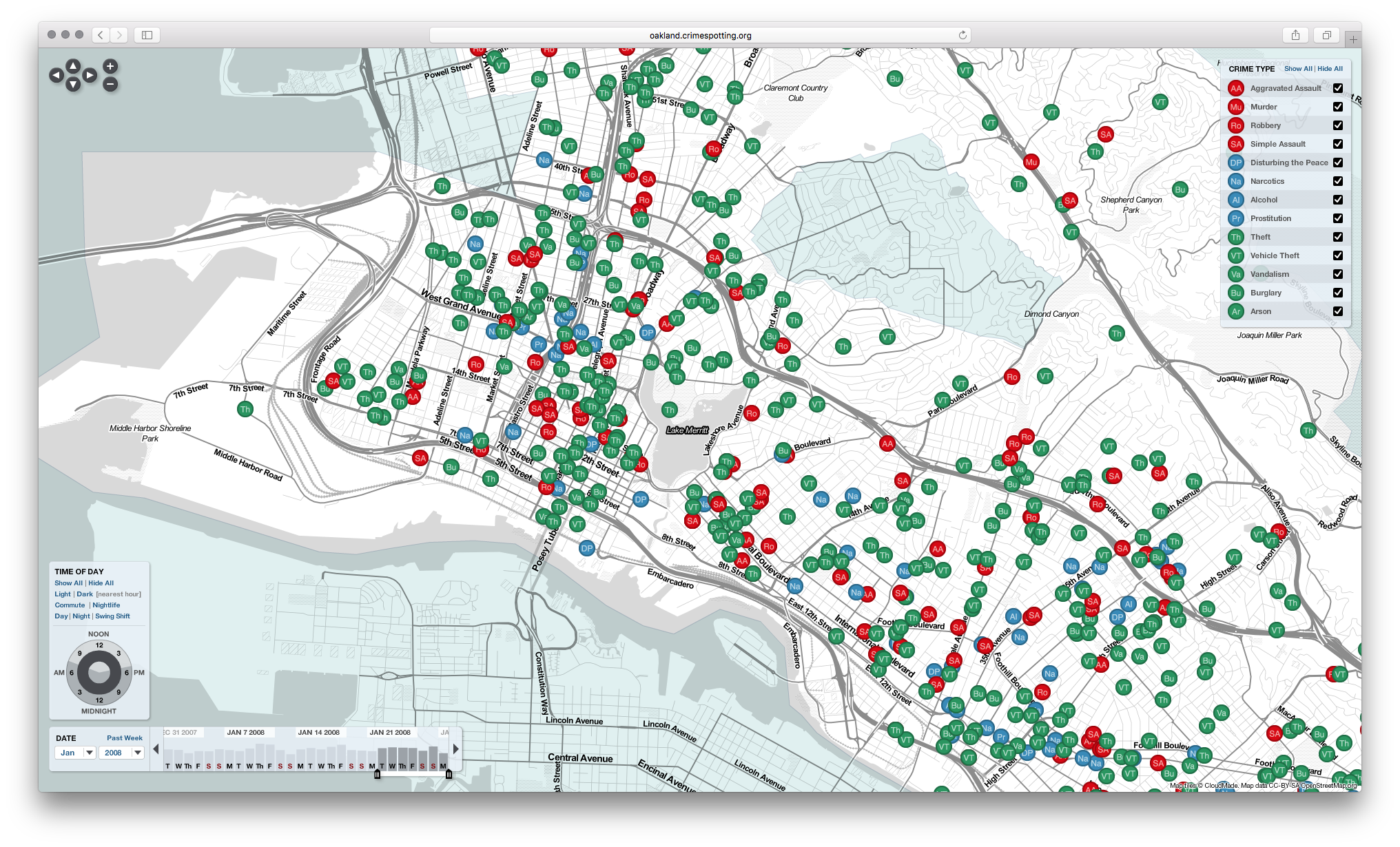
Interactive crime map of Oakland, California by Stamen Design, launched in 2007. Crimespotting visualizes reported crimes by type, time, and location on a navigable map, allowing residents to explore public safety data in their neighborhoods. Users can filter by crime category (theft, assault, robbery, vandalism, etc.) and time range to see patterns. The project was an early example of using open government data for public benefit, built when few cities published crime data in machine-readable formats. Stamen's approach influenced subsequent civic data projects and demonstrated how design studios could contribute to public interest technology.