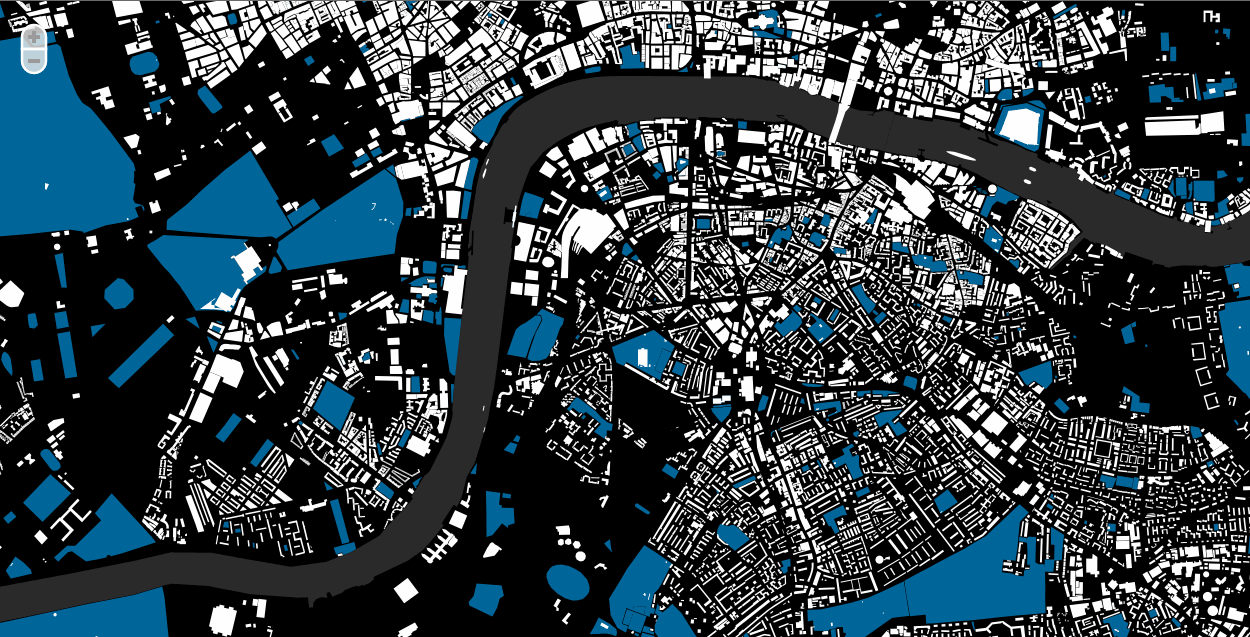
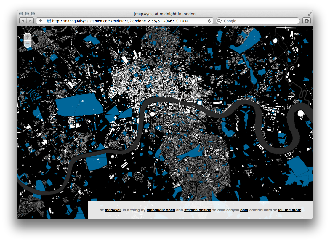
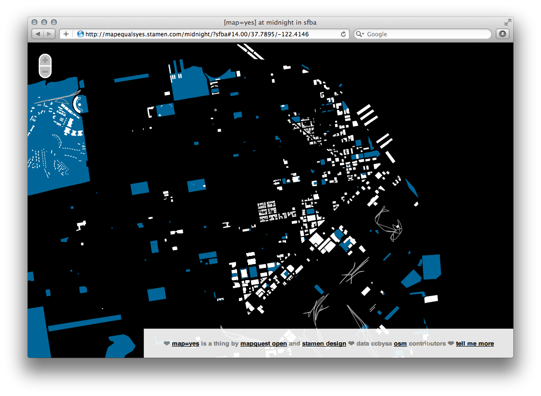
Description
Most online maps are designed to help you get around in a car. This generally means displaying: roads, businesses, buildings, on-ramps, parks, oceans and traffic congestion. Nothing wrong with that! Designers get handed a tool kit that has as many tools as a good swiss army knife, and the maps reflect these tools. Millions of people use them to make appointments across town, find restaurants, and drive home for the holidays.
But what if, instead of a swiss army knife, we used a box of crayons? Or charcoal and newsprint? Or play-doh? What would those maps look like? What could they tell us about the world?